Work has begun on Educational Material,
Virtual Field Trips and new Research.
MITACS Lidar Research.
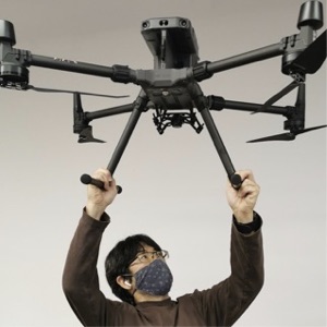
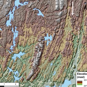
Thanks to a substantial grants in 2022 from the University of Toronto and Mitacs along with the support of the Midland Cultural Centre and the Georgian Bay Land Trust, and private sponsors, a new drone system now allows ecological and geological spatial mapping of Georgian Bay Aspiring Geopark by a post-doctoral fellow (Dr. Kirsten Kennedy). A DJI Matrice 300 RTK quadcopter drone, equipped with a GVI LiAir V 3-D LIDAR mapping system, and a MicaSense Altum multispectral sensor for terrain and ecological mapping, provides cutting edge ability to map large areas with a vertical resolution of ~5 cm and link physical substrates, such as changing geological conditions with natural ecosystems and habitats (such as forests, grasslands, and wetlands etc.,). This new initiative will provide key scientific information to support conservation efforts by organizations around the Bay.
