The unique waterscape of the 30,000 Islands is where the rugged Canadian Shield disappears below the waters of Georgian Bay. The world’s largest freshwater archipelago, it’s many islands expose the deep crustal roots of the immense Grenville Mountains formed when North America collided with ancient South America to create the next supercontinent Rodinia. Numerous road cuts along Highway 400 (’the Great gneiss Highway’) expose beautifully banded gneisses formed at depths of 30 km.
You are here
Indigenous place-based narratives for DEEP TIME ZONE 3 are being developed in concert with Indigenous-owned creative agency Design de Plume, regional Knowledge Keepers and Georgian Bay Indigenous community representatives. To find out more or provide input please contact us.
Between Barrie and Parry Sound, the newly widened Highway 400/69 cuts a slice through the one billion year old Central Gneiss Belt - one of the geological wonders of the world. As you drive north, beautiful pink-coloured rock suddenly appears near Waubaushene, replacing the flat-lying white Limestone to the south. Here, bright orange dikes of granite pierce beautifully striped grey, black, and often complexly folded gneiss. Not only are the rocks visually impressive, they also provide a rare glimpse into geological forms and processes that occurred deep below the colossal mountain range that was here one billion years ago.
During the Grenville Orogeny, when early North America collided with South America, the intense collision shoved large pieces of the Earth's crust on top of each other, deforming, cooking, and stretching rocks into highly metamorphosed Gneiss. Highway 400 near Parry Sound traverses the contact between one slab and another, exposing what is known as the "Parry Sound Shear Zone."
This is one of the best provincial parks in Ontario and a very popular introduction for many generations of southern Ontarians to the Canadian Shield offering a great camping experience in the forest and close to water that is within 3 hours of Toronto. It is set on the rocky, glacially-scoured shores of Parry Sound just where it opens out into Georgian Bay, marked by a lighthouse. Tall white pines grow right out of bare glacially-smoothed outcrops of gneiss which is part of the Parry Sound Shear Zone which is clearly visible from Highway 400 (‘the great gneiss road’). The Interpretation Centre has an interpretative display of the regional geology and principal rock types. Note the many u-shaped ‘chatter marks’ left on the rocks by ice age glaciers, clearly visible from the interpretation centre.
This famous river in northern Georgian Bay was the major link in the fur trade between Montreal, the Mattawa and Ottawa rivers and Lake Superior; in use by voyageurs (‘travelers’) and canoes as late as 1870, the route now only remembered by lonely portages, place names and songs. On the other hand, the landscape of northern Georgian Bay would have been irrevocably altered had one piece of major industrial infrastructure gone ahead as planned for the French River in the early twentieth century. The 70 km long Georgian Bay Ship Canal was promoted as a project having the potential economic impact of a Panama Canal as it would allow large Great Lake freighters to move directly from Lake Huron to Montreal and thence to the Atlantic. In 1904, the Department of Public Works commenced a detailed field study of the route including its geology and recommended construction of a large lock at the Chaudiere Rapids one of several needed to lift boats upstream to Lake Nipissing at a cost of $100 million and taking ten years to complete. The advent of the railways, especially completion of the Canadian Pacific line in 1882, saw that the canal project was never started; laying down tracks was cheaper and quicker than blasting through hard rock of the Canadian Shield.
The port town of Parry Sound was founded in 1857, and its early days were reliant on its forest wealth and the town is forever associated with J.R. Booth (1827-1925) a classic ‘lumber baron’ who in 1891, completed construction of the Ottawa, Arnprior and Parry Sound Railway (OAPR) from Georgian Bay (Depot Harbour on nearby Parry Island) through what is now Algonquin Park to Ottawa. James Cleland Hamilton wrote in 1893 of a journey where ‘we came to the beautiful village of Parry Sound and along this shore are, on islands and peninsulas, the vacation cottages of families from Toronto and elsewhere, who with sail or steam craft, enjoy in summer the most exhilarating of fresh air at an elevation of 578 feet above sea level.’ One of the most famous views of the industrial heritage of Georgian Bay, whether seen from the water, road or rail is of the impressive Canadian Pacific Railway (CPR) Trestle Bridge that crosses the mouth of the Sequin River at Parry Sound. It is 517 m long and was completed in 1907. Today it carries westbound rail traffic for the CPR and the Canadian National Railway and is longest rail trestle east of the Rocky Mountains. Group of Seven associated artist Tom Thompson painted the bridge in July 1914.
For learning, curriculum, and digital storytelling to be guided by community input.


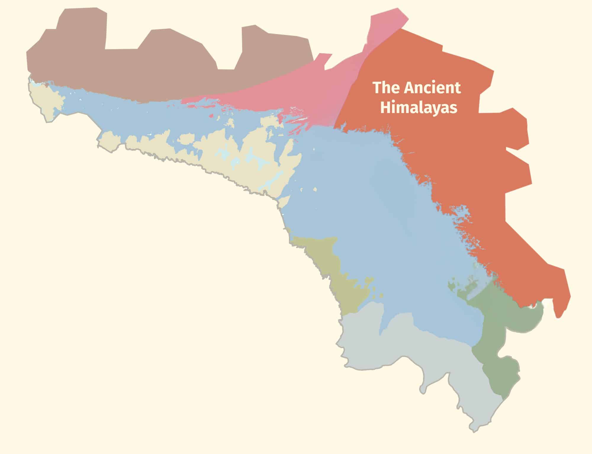
DEEP TIME’ is the themed expression of how exploring and understanding the past helps create a better future. The unique DEEP TIME story and its eight geological chapters encourages both visitors and residents to know the past, celebrate the present and help create a more resilient future for the Bay and its many communities.
2.7 billion years
Sault Ste Marie to Serpent River
The ancient mineral-rich rocks of the North Channel record the breakup of the planet’s oldest supercontinent – and the birth of the Huronian Ocean.
1.8 billion years
Serpent River to Killarney
The Group of Seven’s white rolling quartzite hills are the stumps of mountains formed when landmasses collided to form supercontinent Nuna
1.3 billion years
Killarney to Honey Harbour
1.3 billion years
Killarney to Honey Harbour
500 million years
Manitoulin Island
Much of North America was covered by warm shallow seas, teeming with early marine life that left fossil-rich limestones on Manitoulin Island.
350 million years
Tobermory to Wiarton
Within the last 2 million years, the Bruce/Saugeen peninsula was scoured by Ice Age ice sheets that cut deep valleys into the face of the Niagara Escarpment such as at Owen Sound.
13,000 years
Collingwood to Wiarton
The raised beaches of glacial Lake Algonquin surround the coast of southern Georgian Bay like staircases and hosted the camps of caribou-hunting Paleo-Indians 11,000 years ago.
Last 10,000 years
Collingwood to Honey Harbour
The ancient hard rocks of the Canadian Shield meet the softer limestones of the ancient seas creating a stark contrast in landscapes, ecosystems, and a diverse cultural history unique in North America.
4,000 years to today
Waters of Georgian Bay
In 1615 Samuel de Champlain called Georgian Bay ‘La Mer Douce’ (the sweet water sea). An early map also portrays it as Karegnondi, derived from ‘lake’ in the language of the Petun First Nation.