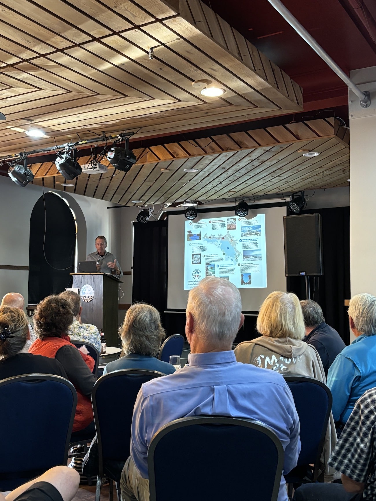
On September 10th, Executive Director Tony Pigott, accompanied by Stu Spiers, presented our Aspiring Georgian Bay Geopark vision to members of The Rotary Club of Penetanguishene, as well as local residence who were encouraged to come out and learn more. The event was hosted by The Rotary Club, and held at La Clé on the main street. We thank them both!

We will be making our way around the Bay in an effort to engage as many people as we can, and to share our knowledge and research with residence, cottagers, business owners and visitors alike.
Local journalist Derek Howard was also in attendance, and wrote a wonderful piece for Midland Today.
Here is the link:
One of the most common questions surrounding our initiative is simply, “what is a Geopark, and why are you doing this?” In a nutshell, here is the answer:
“The Aspiring Georgian Bay Geopark Initiative is a grassroots community of well-informed and talented individuals working to achieve UNESCO Geopark status for the whole of Georgian Bay, its watersheds and the Geopark’s “zone of influence”. When achieved, this would make the Georgian Bay Geopark the largest UNESCO Geopark in the world, encompassing some 48,000 sq km.
A Geopark is a geologically significant landscape with a history and a heritage worthy of international celebration. A UNESCO Geopark designation would be the largest conservation effort on Georgian Bay bringing with it a holistic management plan that would encompass community involvement, leading scientific research, education, responsible ecotourism, informed land stewardship practices and sustainable development.
A win-win for all involved.”
DEEP TIME’ is the themed expression of how exploring and understanding the past helps create a better future. The unique DEEP TIME story and its eight geological chapters encourages both visitors and residents to know the past, celebrate the present and help create a more resilient future for the Bay and its many communities.
2.7 billion years
Sault Ste Marie to Serpent River
The ancient mineral-rich rocks of the North Channel record the breakup of the planet’s oldest supercontinent – and the birth of the Huronian Ocean.
1.8 billion years
Serpent River to Killarney
The Group of Seven’s white rolling quartzite hills are the stumps of mountains formed when landmasses collided to form supercontinent Nuna
1.3 billion years
Killarney to Honey Harbour
The waterscape of the 30,000 Islands exposes the deep crustal roots of the immense Grenville Mountains formed when North and South America collided.
500 million years
Manitoulin Island
Much of North America was covered by warm shallow seas, teeming with early marine life that left fossil-rich limestones on Manitoulin Island.
350 million years
Tobermory to Wiarton
Within the last 2 million years, the Bruce/Saugeen peninsula was scoured by Ice Age ice sheets that cut deep valleys into the face of the Niagara Escarpment such as at Owen Sound.
13,000 years
Collingwood to Wiarton
The raised beaches of glacial Lake Algonquin surround the coast of southern Georgian Bay like staircases and hosted the camps of caribou-hunting Paleo-Indians 11,000 years ago.
Last 10,000 years
Collingwood to Honey Harbour
The ancient hard rocks of the Canadian Shield meet the softer limestones of the ancient seas creating a stark contrast in landscapes, ecosystems, and a diverse cultural history unique in North America.
4,000 years to today
Waters of Georgian Bay
In 1615 Samuel de Champlain called Georgian Bay ‘La Mer Douce’ (the sweet water sea). An early map also portrays it as Karegnondi, derived from ‘lake’ in the language of the Petun First Nation.