
The Niagara Escarpment is Southern Ontario’s most prominent landform. It consists of a hard ‘cap rock’ of Silurian-aged limestones deposited in a tropical sea some 450 million years ago, when what is now Ontario straddled the equator and shallow warm seas flooded the interior of North America. On several occasions in the last 2 million years the Escarpment was sculpted by 2 km-thick glaciers which carved deep valleys into its face and left glacial landforms such as drumlins and moraines when the glaciers last left the area about 13,000 years ago. Deep freezing of softer rocks during ice ages caused the cap rock to bend (a process called ‘cambering’) allowing large blocks to move downslope opening up deep ‘fissure-caves’ along the crest of the Escarpment. Paleo-Indians found and mined hard ‘tool stones’ at the base of the Escarpment close by some 11,500 years ago.
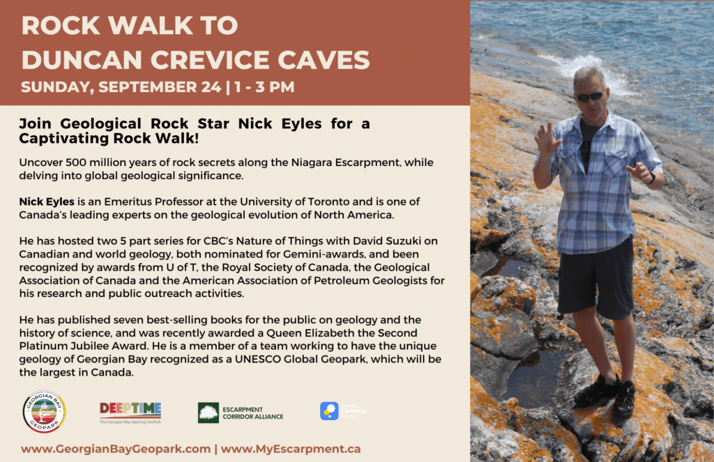
Come and enjoy a rock walk with Nick Eyles of the University of Toronto, learn the secrets of the Niagara Escarpment and its rocks over the past 500 million years and their wider global geologic significance.
This event is a partnership between the Georgian Bay Geopark and the Escarpment Corridor Alliance.
DEEP TIME’ is the themed expression of how exploring and understanding the past helps create a better future. The unique DEEP TIME story and its eight geological chapters encourages both visitors and residents to know the past, celebrate the present and help create a more resilient future for the Bay and its many communities.
2.7 billion years
Sault Ste Marie to Serpent River
The ancient mineral-rich rocks of the North Channel record the breakup of the planet’s oldest supercontinent – and the birth of the Huronian Ocean.
1.8 billion years
Serpent River to Killarney
The Group of Seven’s white rolling quartzite hills are the stumps of mountains formed when landmasses collided to form supercontinent Nuna
1.3 billion years
Killarney to Honey Harbour
The waterscape of the 30,000 Islands exposes the deep crustal roots of the immense Grenville Mountains formed when North and South America collided.
500 million years
Manitoulin Island
Much of North America was covered by warm shallow seas, teeming with early marine life that left fossil-rich limestones on Manitoulin Island.
350 million years
Tobermory to Wiarton
Within the last 2 million years, the Bruce/Saugeen peninsula was scoured by Ice Age ice sheets that cut deep valleys into the face of the Niagara Escarpment such as at Owen Sound.
13,000 years
Collingwood to Wiarton
The raised beaches of glacial Lake Algonquin surround the coast of southern Georgian Bay like staircases and hosted the camps of caribou-hunting Paleo-Indians 11,000 years ago.
Last 10,000 years
Collingwood to Honey Harbour
The ancient hard rocks of the Canadian Shield meet the softer limestones of the ancient seas creating a stark contrast in landscapes, ecosystems, and a diverse cultural history unique in North America.
4,000 years to today
Waters of Georgian Bay
In 1615 Samuel de Champlain called Georgian Bay ‘La Mer Douce’ (the sweet water sea). An early map also portrays it as Karegnondi, derived from ‘lake’ in the language of the Petun First Nation.