Ferry sailing on calm waters

News & Events

Our visit to Manitoulin & the North Channel

June 11, 2025

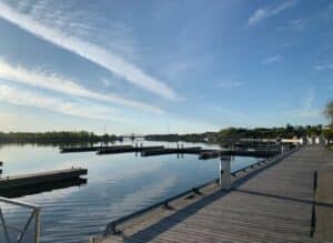
Recently, two of our team members, Mike Robbins and Bryan Plumstead, traveled to the northern reaches of Georgian Bay. They connected with a group in Sudbury, moved on to Little Current on Manitoulin Island, followed by a trek along the North Channel to Bruce Mines, and then back to Blind River. Scroll down for a few photos from their travels!

The purpose of their trip was to inform and educate those in attendance on what our Geopark is (and isn’t), as well as to gather feedback on our Georgian Bay Geopark Initiative. Michael Erskine of the Manitoulin Expositor picked up on the visit. Here’s his piece:

https://www.manitoulin.com/geopark-proponents-encourage-island-to-join-the-plan

If you, or anyone you know, is interested in learning more, or would like to host an information session, please get in touch, we’d be happy to accommodate.

Northern Georgian Bay

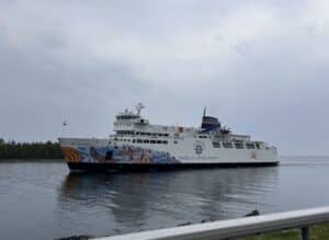
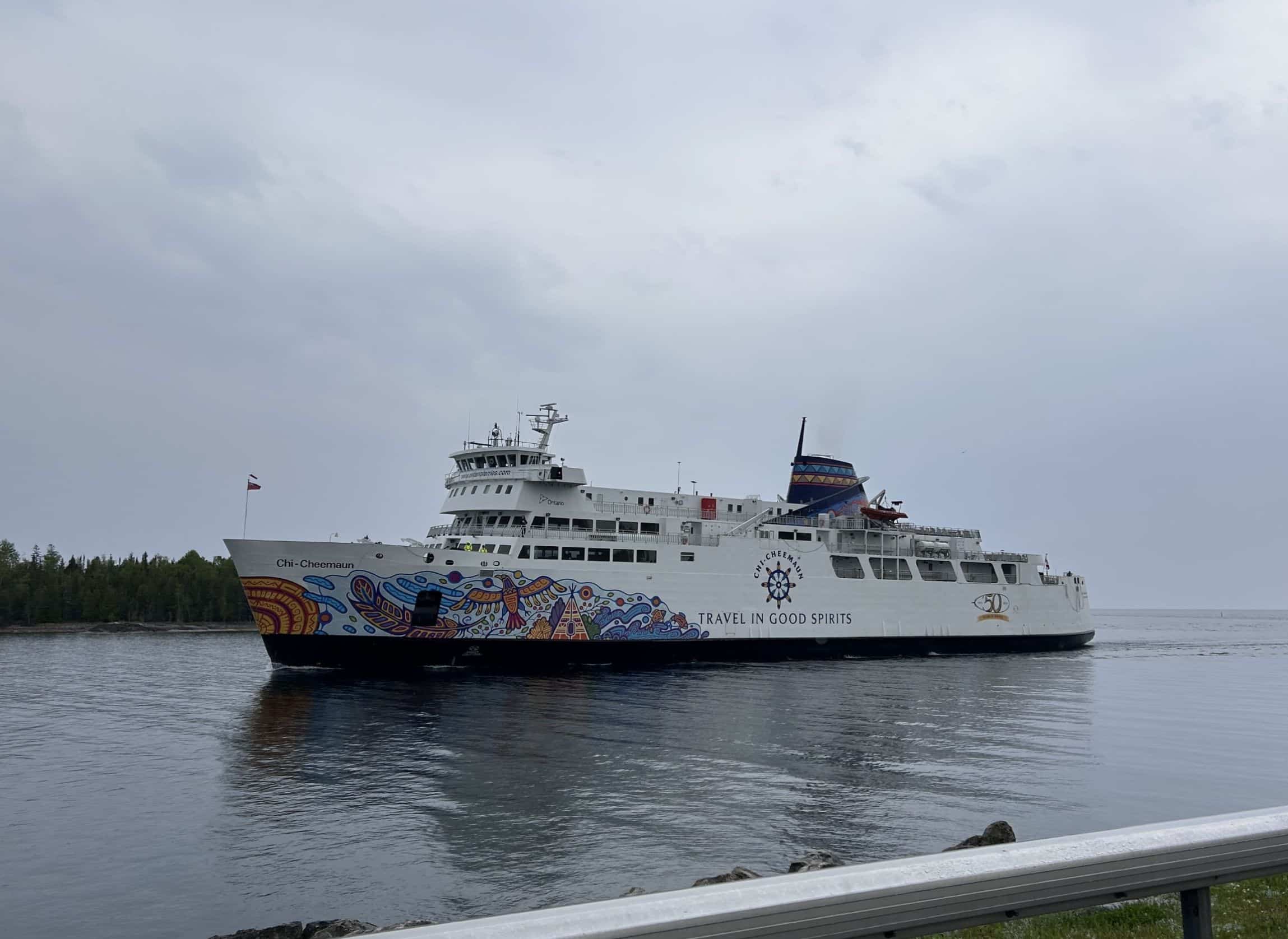
MS Chi-Cheemaun (picture above left) is a passenger and vehicle ferry which was built in Collingwood, Ontario and launched in 1974. It measures just under 365 feet long, holds 638 people along with 140 vehicles. It traverses Lake Huron between Tobermory on the Bruce Peninsula and South Baymouth on Manitoulin Island from early May until mid-late October. https://www.ontarioferries.com/ms-chi-cheemaun

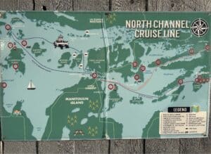
The Grand Heron, a 75′ trimaran-style touring boat, traverses points from northern Georgian Bay through to the North Channel (see map above right). https://northchanneltours.com/

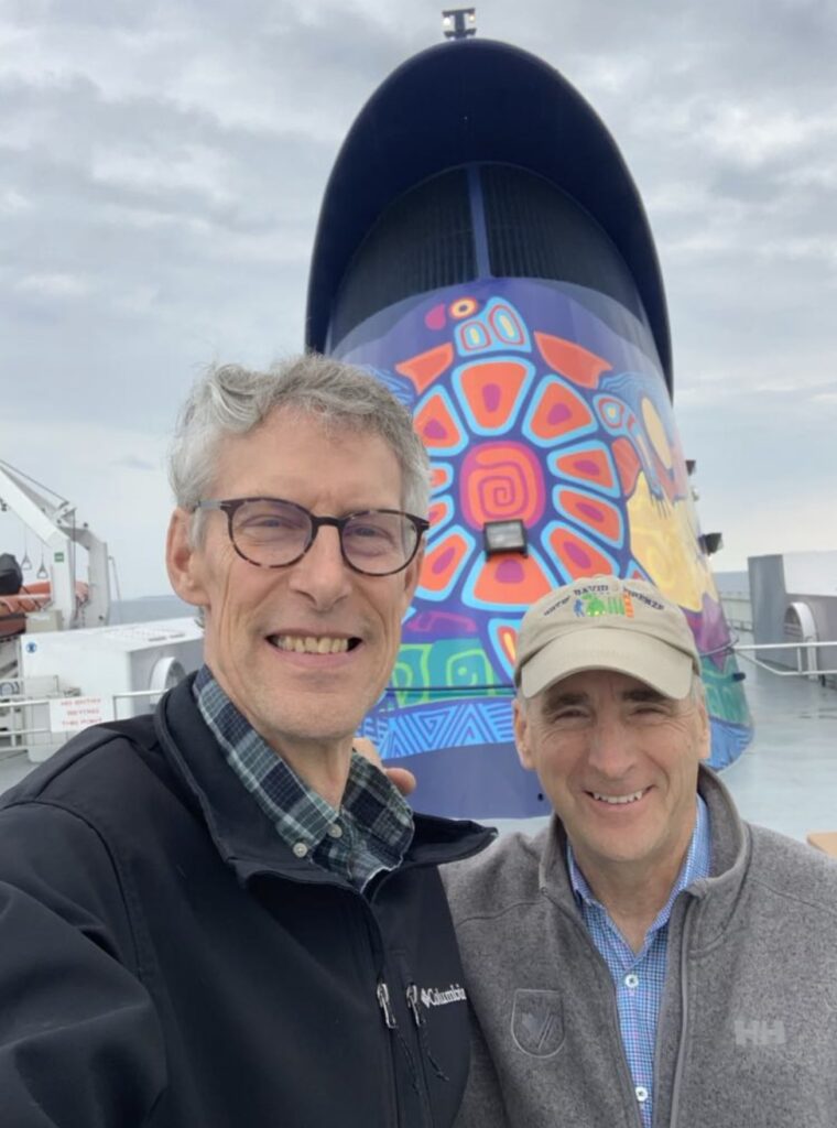
Bryan Plumstead & Mike Robbins aboard the MS Chi-Cheemaun

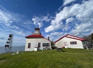
Bruce Bay Cottages & Lighthouse, Little Current Swing Bridge

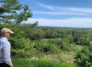
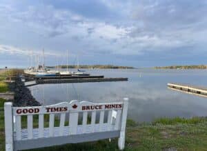
The view over Willisville, Bruce Mines Marina

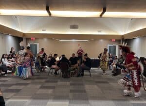
Being treated to a performance at the Manitoulin Conference Centre, one of several information sessions

Discover the DEEP TIME geology of the Georgian Bay Geopark

DEEP TIME’ is the themed expression of how exploring and understanding the past helps create a better future. The unique DEEP TIME story and its eight geological chapters encourages both visitors and residents to know the past, celebrate the present and help create a more resilient future for the Bay and its many communities.

DEEP TIME Zone 1

The Huronian
Ocean

2.7 billion years
Sault Ste Marie to Serpent River

The ancient mineral-rich rocks of the North Channel record the breakup of the planet’s oldest supercontinent – and the birth of the Huronian Ocean.

DEEP TIME Zone 2

Continents
Collide

1.8 billion years
Serpent River to Killarney

The Group of Seven’s white rolling quartzite hills are the stumps of mountains formed when landmasses collided to form supercontinent Nuna

DEEP TIME Zone 3

The Ancient
Himalayas

1.3 billion years
Killarney to Honey Harbour

The waterscape of the 30,000 Islands exposes the deep crustal roots of the immense Grenville Mountains formed when North and South America collided.

DEEP TIME Zone 4

Tropical
Seas

500 million years
Manitoulin Island

Much of North America was covered by warm shallow seas, teeming with early marine life that left fossil-rich limestones on Manitoulin Island.

DEEP TIME Zone 5

The Limestone
Coast

350 million years
Tobermory to Wiarton

Within the last 2 million years, the Bruce/Saugeen peninsula was scoured by Ice Age ice sheets that cut deep valleys into the face of the Niagara Escarpment such as at Owen Sound.

DEEP TIME Zone 6

Ice Ages &
Early Cultures

13,000 years
Collingwood to Wiarton

The raised beaches of glacial Lake Algonquin surround the coast of southern Georgian Bay like staircases and hosted the camps of caribou-hunting Paleo-Indians 11,000 years ago.

DEEP TIME Zone 7

The Meeting
Place

Last 10,000 years
Collingwood to Honey Harbour

The ancient hard rocks of the Canadian Shield meet the softer limestones of the ancient seas creating a stark contrast in landscapes, ecosystems, and a diverse cultural history unique in North America.

DEEP TIME Zone 8

Mindo Gami Great
Spirit Lake

4,000 years to today
Waters of Georgian Bay

In 1615 Samuel de Champlain called Georgian Bay ‘La Mer Douce’ (the sweet water sea). An early map also portrays it as Karegnondi, derived from ‘lake’ in the language of the Petun First Nation.

Sign Up For Our Newsletter